Okanogan River Valley County Seat
Welcome to Okanogan, the Okanogan County seat set along the Okanogan River in north-central Washington's orchard and ranch country near the Canadian border.
Okanogan is a small city in north-central Washington and the seat of Okanogan County, set in the Okanogan River Valley where U.S. Highway 97 and State Route 20, the North Cascades Highway, intersect. It lies in orchard and ranch country near the Canadian border, with the larger city of Omak a few miles to the north. With a population of about 2,400, Okanogan is the county's second-largest city after Omak, and it anchors the southern half of the Greater Omak area. The city takes its name from the Okanagan (Syilx) people, whose language gave the region a word meaning a meeting or rendezvous place. The surrounding valley was part of the Columbia Plateau's fur-trade era: Fort Okanogan, established in 1811 by the Pacific Fur Company at the confluence of the Okanogan and Columbia rivers south of the present city, was the first American settlement in what is now Washington. The modern city developed in the late 1800s as the county seat and a trading center for the valley's orchards, ranches, and later timber. Today Okanogan's economy is anchored by county government, agriculture, and services for the surrounding rural area, with the nearby Colville Reservation and federal forest lands shaping the region's character. Apple and other tree-fruit orchards line the valley, and residents rely on Omak for many retail and commercial needs. The city's compact grid of older neighborhoods climbs gently from the river toward the valley's eastern hills. For homebuyers, Okanogan offers a quiet small-town setting with a genuine four-season climate, direct highway access up and down the valley, and immediate proximity to fishing, hunting, and the Okanogan-Wenatchee National Forest. It suits those drawn to rural north-central Washington's open space, slower pace, and strong sense of local identity.
Okanogan is located in Okanogan County, Washington, and serves as that county's seat of government. The city sits in the Okanogan River Valley of north-central Washington, not far south of the Canadian border.
Okanogan is known as the seat of Okanogan County and for its setting in orchard and ranch country along the Okanogan River. The region is also known for the historic Fort Okanogan fur-trade post and the nearby Omak Stampede.
Okanogan is served by Okanogan School District 105, which operates several elementary, middle, and high schools for the city and the surrounding valley. The neighboring Omak School District serves the adjacent city of Omak.
Okanogan is only a few miles south of Omak, which is the county's most populous city. The two communities together form the Greater Omak area and share regional shopping, healthcare, and community events.
Nearby recreation includes fishing on the Okanogan River, hunting and hiking in the Okanogan-Wenatchee National Forest, the Omak Stampede rodeo, and the Fort Okanogan Interpretive Center south of town, along with Conconully State Park.
City Guide
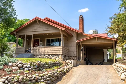
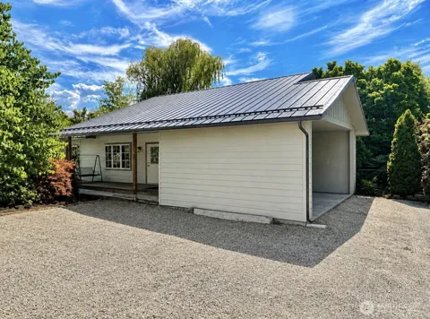
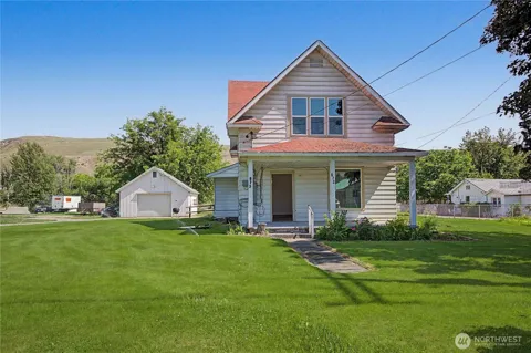
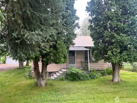
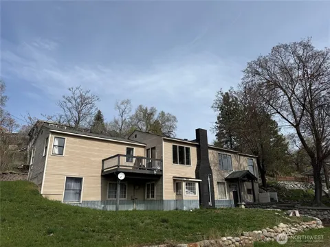
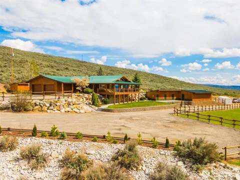
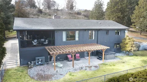
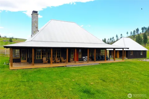
Okanogan's housing stock reflects its age as a small county seat, with a mix of older bungalows, Craftsman-era homes, and mid-century ranch houses on a grid of tree-lined streets rising from the river valley. Many lots are generous by suburban standards, and a number of homes enjoy views of the Okanogan River and the surrounding hills. Newer construction is limited, and buyers can also find acreage and orchard properties on the city's outskirts, lending the market a distinctly rural character.
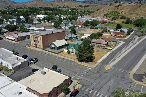
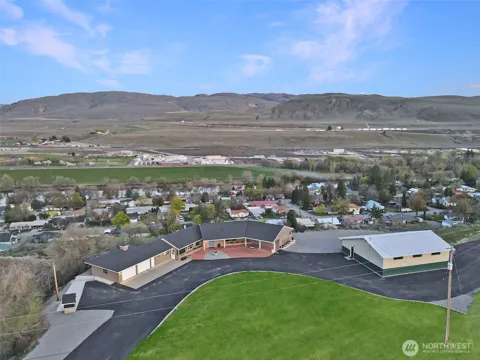
Okanogan is compact, and its neighborhoods are generally described by their position relative to the river and the downtown. The oldest homes cluster near the central business district and along the valley floor, while newer residences climb the hillsides to the east, where views open across the valley. The nearby community of Omak and scattered rural subdivisions on the city's edges broaden the range of residential settings within the Greater Omak area.
Okanogan offers the unhurried pace of a rural county seat in the Columbia Plateau. Daily life centers on county government, the schools, local shops, and the orchard and ranch economy that surrounds the valley. Residents often travel the few miles to Omak for larger retail, healthcare, and the famous Omak Stampede. The presence of the Colville Reservation and nearby national-forest lands gives the area a distinctive north-central Washington character, with hunting, fishing, and outdoor pursuits woven into everyday life.
Public schools in Okanogan are part of Okanogan School District 105, which operates several schools serving the city and surrounding valley, including elementary, middle, and high school levels. Neighboring Omak School District serves the adjacent city, and the two districts draw from the same regional population. For higher education, Wenatchee Valley College serves the broader north-central Washington region from its Omak campus, and students pursue vocational and transfer programs across the Okanogan Valley.
Okanogan sits at the junction of U.S. Highway 97 and State Route 20, the North Cascades Highway, giving the city direct road connections south to Wenatchee, west across the Cascades, and north through Omak toward the Canadian border at Oroville. State Route 155, reached via Omak, connects the valley to the Grand Coulee Dam region. The nearest commercial airport is in Wenatchee, with regional service also available from Spokane and Seattle. Most local travel is by car on the valley's highways.
The Okanogan River offers fishing and riverside access, while the surrounding hills and the Okanogan-Wenatchee National Forest provide hunting, hiking, and camping. Omak Lake and the Colville Reservation's recreation areas are nearby, and the annual Omak Stampede, with its storied suicide race, is a regional institution. The Fort Okanogan Interpretive Center, south of town near the confluence of the Okanogan and Columbia rivers, preserves the area's fur-trade history. Conconully State Park lies to the northwest for additional camping and lake recreation.
MARKET SNAPSHOT
How homes have been selling here over the last 90 days.
Market data reflects closed sales over the last 90 days and is provided for informational purposes.
BROWSE BY ZIP
Browse listings by postal code in this area.