Methow Valley Mountain Gateway
Listings in Mazama, WA
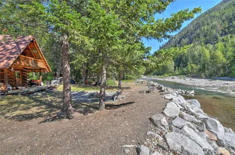
Welcome to Mazama, a small unincorporated community at the head of the Methow Valley, on the east slopes of the North Cascades.
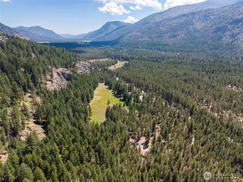
Mazama is an unincorporated community in Okanogan County, Washington, near the head of the Methow Valley on the east slopes of the North Cascades. Home to about 160 year-round residents, it sits along the North Cascades Highway (State Route 20), roughly 14 miles northwest of Winthrop and about 28 miles south of the Canadian border. The community's origins are in mining. Mazama began as a mining camp on the upper Methow River in west-central Okanogan County, once marking the end of paved roads in the northwest Methow Valley and serving as a jumping-off point for miners who wintered in the surrounding mountains. That frontier legacy still colors the community's rugged, independent character. Today Mazama is a recreation gateway at the edge of North Cascades National Park. It is best known for the Goat Wall, a roughly 1,500-foot rock wall that rises above the Methow River and draws climbers from across the region, along with the trails and forests of the surrounding national forest and wilderness. The Methow Valley's celebrated cross-country ski trail system—among the largest in North America—passes through the area, making Mazama a year-round outdoor destination. The community is small and scattered, with cabins, lodges, and second homes set among pine forest and the open valley floor. The Mazama Store and a handful of local businesses anchor daily life. State Route 20, the North Cascades Highway, closes in winter west of Mazama, making the community the literal end of the road in the cold months—and a gateway to snow recreation. For residents, Mazama offers a secluded, mountain-centered way of life in one of Washington's most scenic valleys, framed by the North Cascades and the Methow River. It attracts a mix of year-round locals, artists, and outdoor enthusiasts, along with visitors seeking cabins and trailheads at the valley's upper end.
Get more information about Mazama
Houses in Mazama, WA
Condos & Apartments in Mazama, WA
Lots & Land in Mazama, WA
MARKET SNAPSHOT
The Market at a Glance
How homes have been selling here over the last 90 days.
Price & Sales History
Market data reflects closed sales over the last 90 days and is provided for informational purposes.
Zip Codes
BROWSE BY ZIP
Browse listings by postal code in this area.
- Grid
- Map
- List
City Guide
About Mazama
Real Estate & Housing
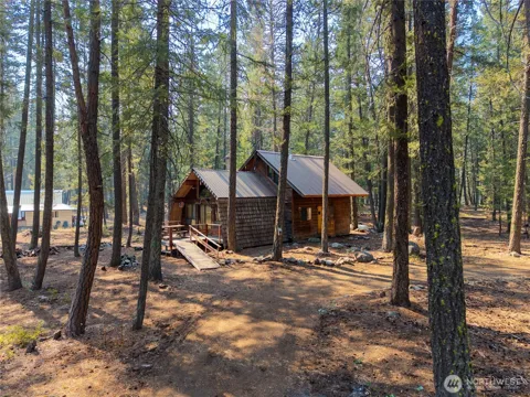
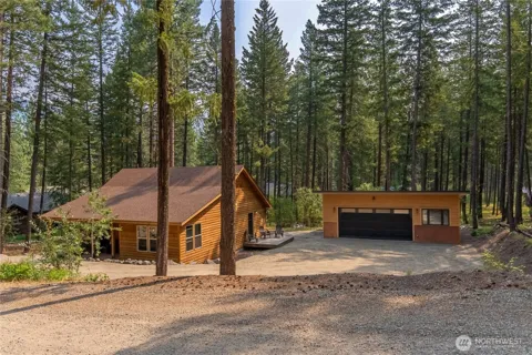
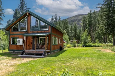
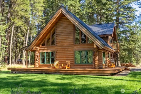
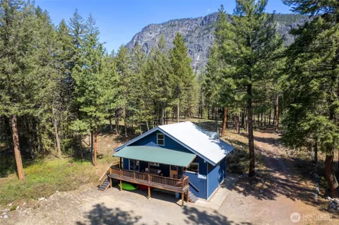
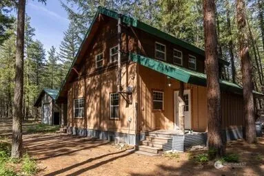
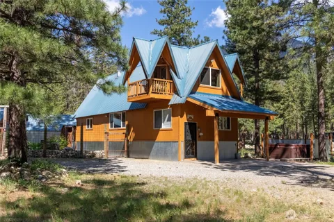
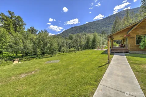
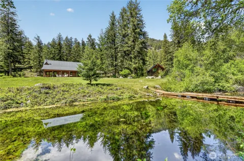
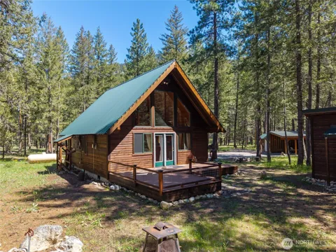
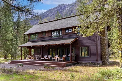
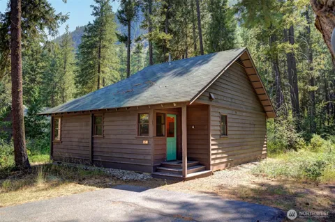
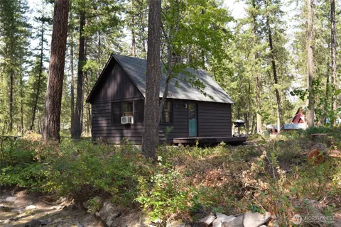
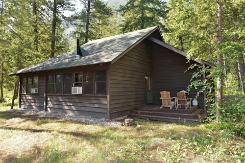
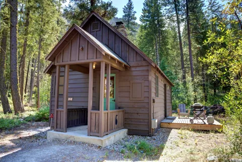
Mazama's housing is mountain-scale and recreation-oriented. The community consists of a scattered mix of cabins, lodges, and second homes set among pine forest and the open valley floor, along with a smaller number of year-round residences. Over time, Mazama has become a base for second homes and rustic cabins at the Methow Valley's upper end. Development is limited by the surrounding national forest and wilderness, keeping the community small and its character intact. Buyers are drawn by solitude, trailhead access, and the valley's celebrated Nordic ski system rather than by conventional suburban amenities.
Neighborhoods
Lifestyle in Mazama
Life in Mazama is quiet, outdoors-centered, and seasonally driven. Summer brings hiking, climbing, and river recreation, while winter transforms the community into a hub for cross-country skiing on the Methow Valley's extensive trail system. The community is small and self-reliant, with the Mazama Store and a few local businesses anchoring daily life. Residents include year-round locals, artists, and outdoor enthusiasts, joined by seasonal visitors. The closure of the North Cascades Highway in winter adds a sense of remoteness, reinforcing Mazama's character as a mountain community at the valley's upper end.
Schools & Education
Getting Around
Mazama sits on the North Cascades Highway (State Route 20), which connects it southeast to Winthrop and the other Methow Valley communities and northwest toward the Cascades. The highway closes in winter west of Mazama, making the community the end of the road during snowy months and reinforcing its remote, seasonal character. Access to larger services requires the drive to Winthrop or Twisp, with the Okanogan Valley farther east. Residents rely on private vehicles, and mountain driving conditions are a routine part of life in the upper Methow Valley.
Parks & Recreation
Recreation defines Mazama. The Goat Wall, a roughly 1,500-foot rock wall above the Methow River, is a destination for rock climbing, while the surrounding North Cascades provide hiking, backpacking, and mountaineering. The Methow Valley's cross-country ski trail system—among the largest in North America—anchors winter recreation. Trails such as the Goat Creek, Founders, and Methow River loops weave through the valley, and North Cascades National Park lies adjacent. The Methow River offers fishing and river access, making Mazama a year-round outdoor base at the edge of the wilderness.
About Mazama
Frequently asked questions
What county is Mazama in?
Mazama is an unincorporated community in Okanogan County, Washington, in the north-central part of the state. It lies in the Methow Valley, on the east slopes of the North Cascades, near the boundary of North Cascades National Park.
Where is Mazama located?
Mazama sits along the North Cascades Highway, State Route 20, roughly 14 miles northwest of Winthrop and about 28 miles south of the Canadian border. The community's town center sits at an elevation of about 2,106 feet in the upper Methow Valley.
What is Mazama known for?
Mazama is known for the Goat Wall, a roughly 1,500-foot rock wall rising above the Methow River that draws rock climbers, and for its access to hiking, cross-country skiing, and North Cascades National Park.
What highway runs through Mazama?
The North Cascades Highway, State Route 20, runs through Mazama. It closes in winter west of the community, making Mazama the end of the road during snowy months and a gateway to winter recreation in the Methow Valley.
Still have questions about Mazama?
Get in touchExplore the area