Okanogan Border Town
Welcome to Oroville, the Okanogan County border town set along the Okanogan River and Lake Osoyoos, just south of the Canadian line on Highway 97.
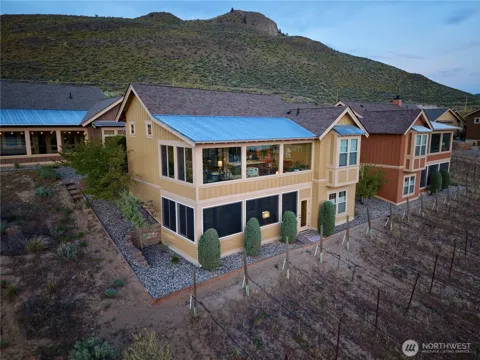
Oroville is a small city in Okanogan County, in north-central Washington, set in the Okanogan Highlands along the Okanogan River near the southern end of Lake Osoyoos. It lies just south of the Canadian border, about two and a half miles from the Osoyoos, British Columbia crossing, and sits on U.S. Highway 97, the principal route through the Okanogan Valley between the United States and Canada. The town's name comes from the Spanish word for gold, "oro," reflecting its origins as a mining settlement. During its heyday as a mining town, Oroville supported saloons, restaurants, and shops serving the surrounding mines, and the arrival of rail and irrigation later reshaped its economy. Today, agriculture is the mainstay: orchards and a few grape vineyards fill the valley within and around the town, part of a broader fruit-growing region that extends across the border into British Columbia's wine country. Oroville's identity is tied to its border position and its water. Lake Osoyoos and the Okanogan and Similkameen rivers provide boating, fishing, and summer recreation, and the area's warm, dry climate supports the orchards and vineyards that frame the valley. The 24-hour border crossing makes the town a gateway between Washington's apple country and British Columbia's Okanagan Valley, and it is a stopping point for travelers moving between Omak, Washington, and Penticton, British Columbia. Oroville suits people seeking an affordable, quiet, small-town lifestyle in a scenic agricultural valley. Housing is modest, with older in-town homes, some newer vacation cottages near Lake Osoyoos, and rural acreage in the surrounding highlands. It is a remote but distinctive corner of Washington, defined by orchards, water, and its place on the international border.
Oroville is in Okanogan County, in north-central Washington's Okanogan Highlands. It sits along the Okanogan River near the southern end of Lake Osoyoos, between the towns of Omak to the south and Penticton, British Columbia, to the north.
Yes. Oroville sits about two and a half miles south of the Canada–United States border and hosts a 24-hour border crossing into Osoyoos, British Columbia. U.S. Highway 97 runs through town and continues north as British Columbia Highway 97 into the Okanagan Valley.
Oroville is known for its gold-mining origins — its name comes from the Spanish word 'oro' — and for the orchards and vineyards that now define its agricultural economy. It is also a gateway community on the U.S.-Canada border along Lake Osoyoos and the Okanogan River.
Oroville is served by the Oroville School District, which provides elementary through high school education for the town and surrounding area. The district's small size keeps its schools closely connected to the community.
Residents and visitors boat, fish, and swim on Lake Osoyoos and the Okanogan and Similkameen rivers, hike and hunt in the Okanogan Highlands, and explore the area's orchards and vineyards. The 24-hour border crossing also makes Oroville a convenient base for trips into British Columbia's Okanagan wine country.
City Guide
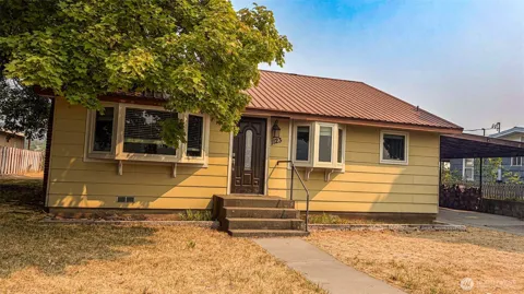
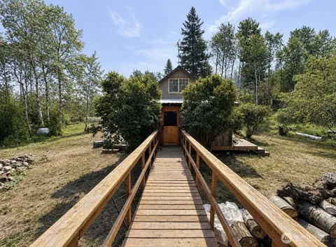
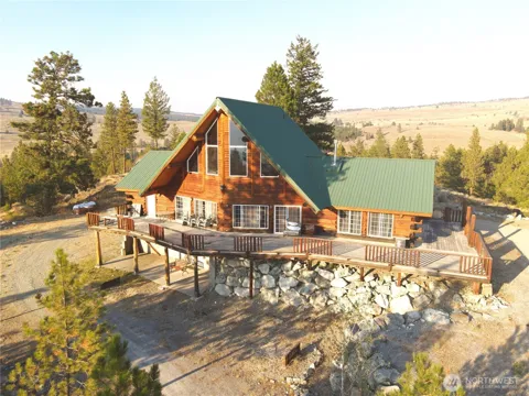
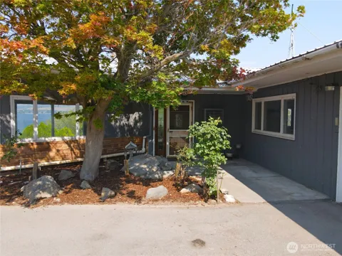
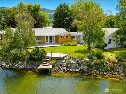
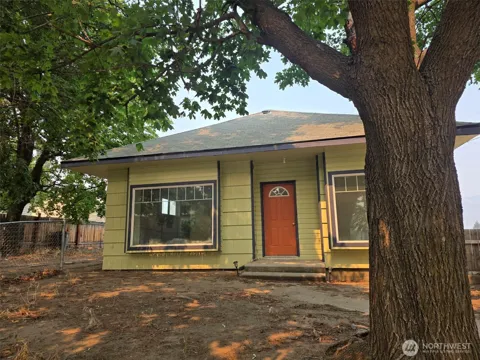
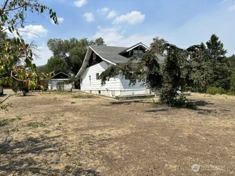
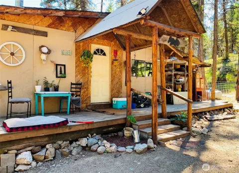
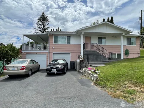
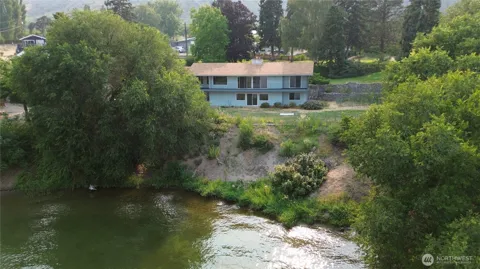
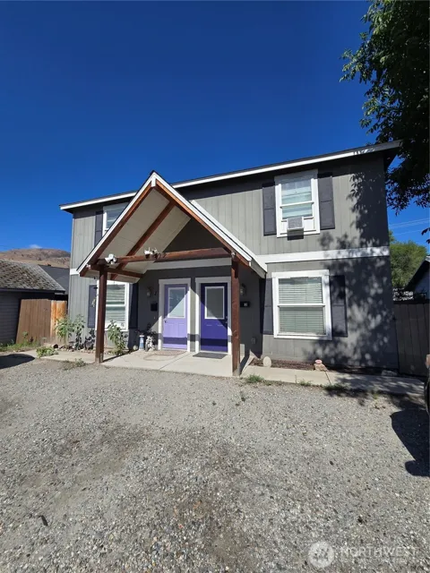
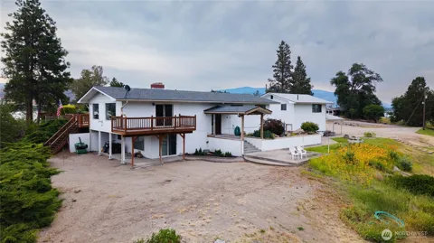
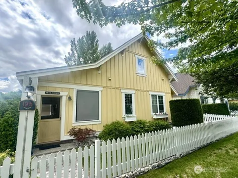
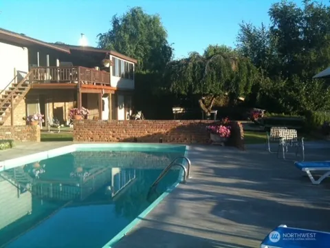
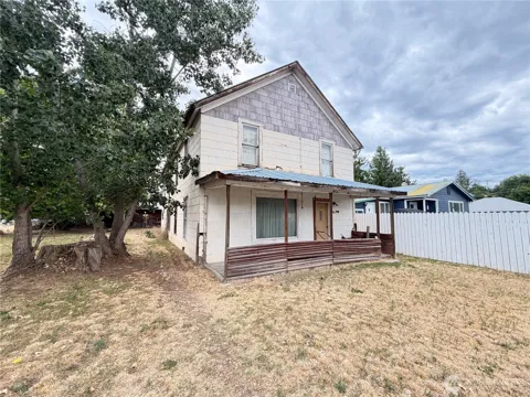
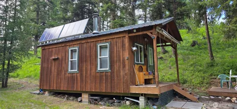
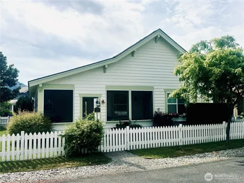
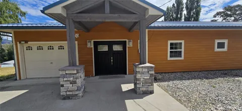
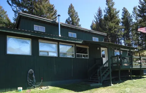
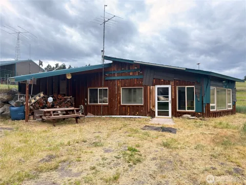
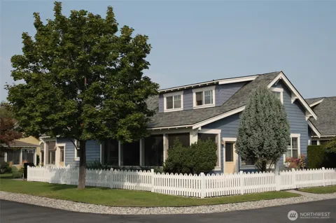
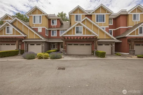
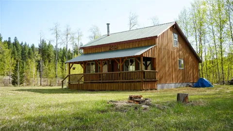
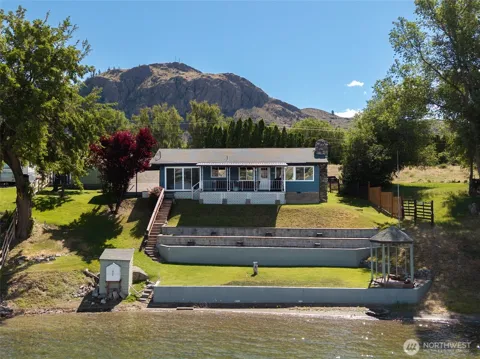
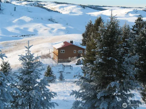
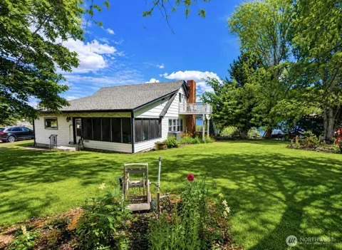
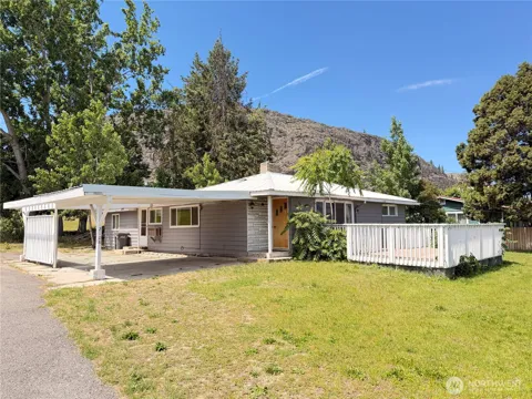
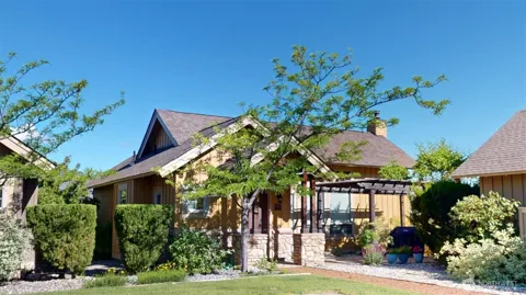
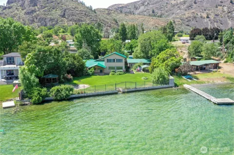
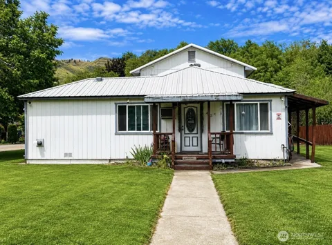
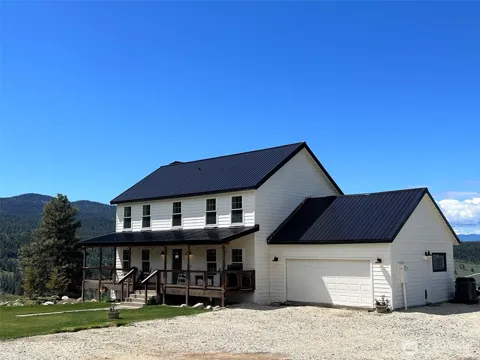
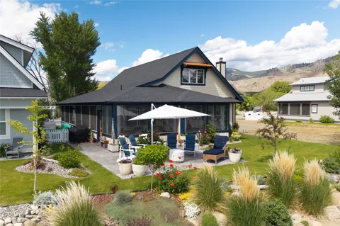
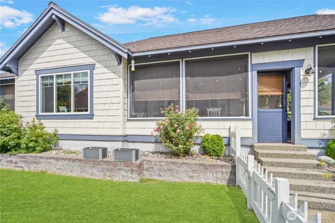
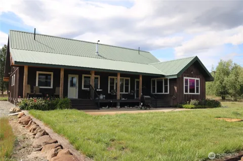
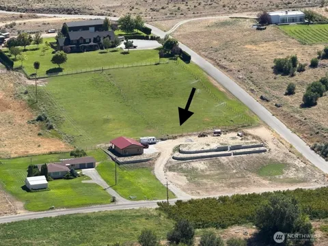
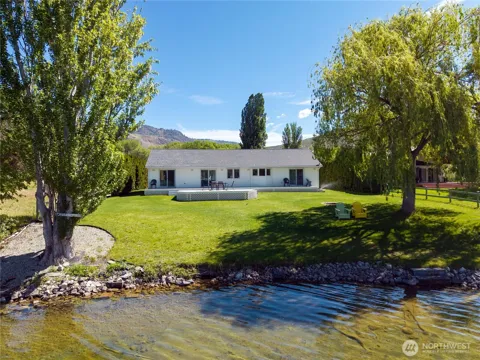
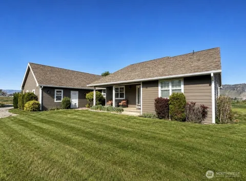
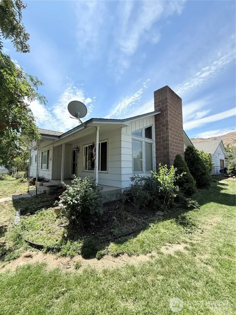
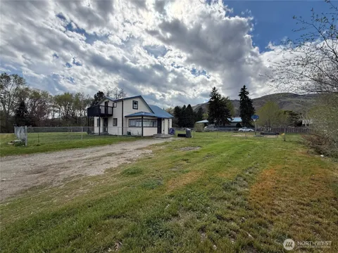
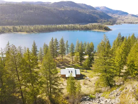
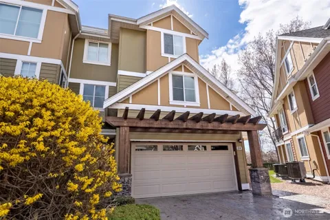
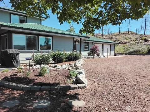
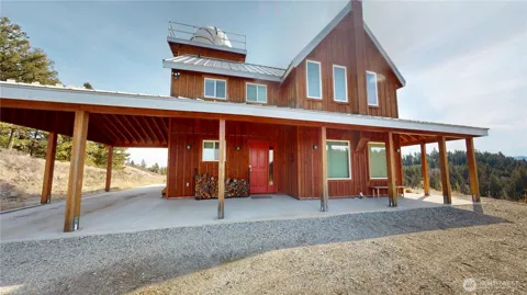
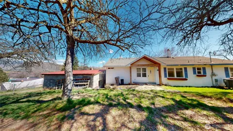
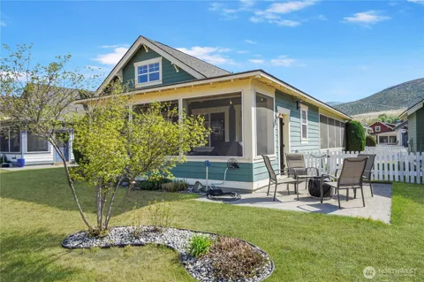
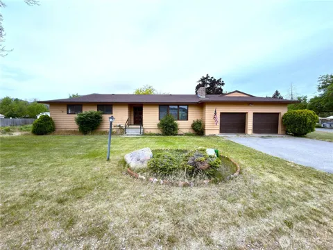
Oroville's housing stock is modest and small-town, with older single-family homes in the in-town grid and a mix of mobile and manufactured homes common in the region. In recent years, vacation cottage developments have appeared near Lake Osoyoos, catering to seasonal and second-home buyers drawn to the water. Beyond the limits, rural acreage, orchards, and homesites spread through the valley and highlands. The market is generally affordable, reflecting the town's remote location and agricultural economy.
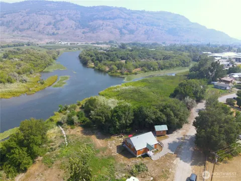
Oroville is a compact town laid out along the Okanogan River and U.S. Highway 97, with an older in-town core of homes, churches, and small businesses near the riverfront and the highway. Residential streets extend toward the surrounding orchards and the shores of Lake Osoyoos, where newer vacation cottages and lake-area properties have been developed. Rural roads lead to scattered homesites and farmsteads in the surrounding Okanogan Highlands.
Life in Oroville is quiet, outdoors-oriented, and tied to the rhythms of agriculture and the border. Residents boat and fish on Lake Osoyoos and the Okanogan River, tend orchards and gardens, and gather for community events and school activities. The town's position on Highway 97 brings a steady flow of cross-border travelers, while the surrounding vineyards and orchards give the valley a pastoral character. It is a low-key, close-knit community in a scenic, sparsely populated region.
Public education in Oroville is provided by the Oroville School District, which serves students in the town and surrounding area from elementary through high school. The district's small size keeps schools closely tied to the community, and athletics and extracurricular activities are central to local life. For higher education and specialized programs, residents look to larger centers in Omak, Wenatchee, and the broader Okanogan Valley and Canadian Okanagan region.
Oroville sits on U.S. Highway 97, the main north-south route through the Okanogan Valley, and is home to a 24-hour border crossing into Osoyoos, British Columbia, about two and a half miles north. The highway connects the town south to Omak, Wenatchee, and the rest of north-central Washington, and north to Penticton and the Okanagan Valley. The town's remote location makes the highway its lifeline, carrying both local agricultural traffic and cross-border travelers.
Recreation in Oroville centers on water and the surrounding highlands. Lake Osoyoos, which straddles the international border, offers boating, fishing, swimming, and beach access, while the Okanogan and Similkameen rivers add further fishing and paddling opportunities. The Okanogan Highlands provide hiking, hunting, and wildlife viewing, and the area's orchards and vineyards draw seasonal visitors. Nearby state and provincial parks on both sides of the border extend the outdoor options in summer and winter.
MARKET SNAPSHOT
How homes have been selling here over the last 90 days.
Market data reflects closed sales over the last 90 days and is provided for informational purposes.
BROWSE BY ZIP
Browse listings by postal code in this area.