Columbia River Orchard Country
Welcome to Orondo, a small orchard community on the Columbia River in Douglas County, north of Wenatchee.
Orondo is an unincorporated community in Douglas County, Washington, set on the east bank of the Columbia River where the waterway widens into Lake Entiat, north of Wenatchee and East Wenatchee. It sits along U.S. Highway 2/97, the main route through central Washington, in the heart of the state's orchard country. The community was established as an orchard and ranch site in 1928, when the Auvil brothers began farming the area; a peach variety known as the Daroga peach was developed there. In the late 1930s, an influx of families fleeing the Dust Bowl arrived to work in the local orchards, adding to the area's agricultural workforce. For decades, steam ferries carried traffic across the Columbia at Orondo, a role that ended when the Rocky Reach Dam was built in 1958 and the reservoir that became Lake Entiat rose to consume many acres of the community's riverside land. Today Orondo is home to roughly 500 residents and has no traditional downtown, functioning instead as a rural, orchard-centered community. The Orondo School District serves students through eighth grade, after which they attend high school in the East Wenatchee area. Orondo River Park, established in 1972 and operated as a state park, provides riverfront access for residents and visitors. Orondo's setting places it within one of the most productive tree-fruit regions in the country. The Wenatchee valley's orchards stretch for miles along both banks of the Columbia, and Orondo shares in that agricultural economy while remaining far quieter than the cities across the river. Its relationship to the river changed with the dam, but its identity has stayed tied to the land. For homebuyers, Orondo offers a quiet agricultural lifestyle along the Columbia, with orchards, open benchland, and lake recreation just upriver from the Wenatchee valley's services and employment.
Orondo is located in Douglas County, Washington, on the east bank of the Columbia River north of Wenatchee. The unincorporated community sits along U.S. Highway 2/97 in central Washington and is governed by Douglas County.
Orondo is known for its orchards and its place in Washington's fruit-growing country. The community was established as an orchard and ranch site in 1928, and the Daroga peach was developed in the area.
Orondo is served by the Orondo School District, a small rural district that educates students from preschool through eighth grade. High school students attend schools in the larger East Wenatchee and Wenatchee area.
Orondo sits along the Columbia River on Lake Entiat, a reservoir created by Rocky Reach Dam. The dam was completed in 1958, and the resulting lake reshaped much of the community's shoreline.
No. Orondo is an unincorporated community rather than a city, with about 500 residents and no traditional downtown. It is governed by Douglas County and is known for its rural orchard landscape.
City Guide
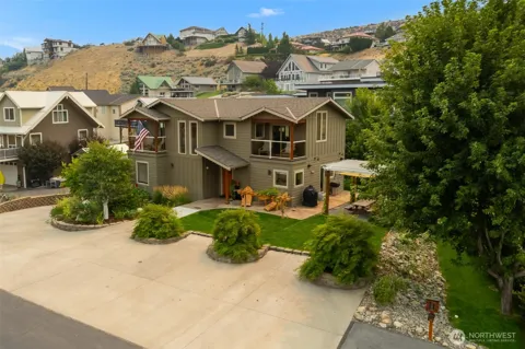
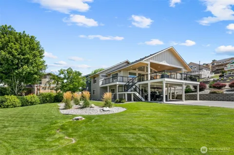
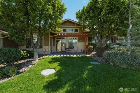
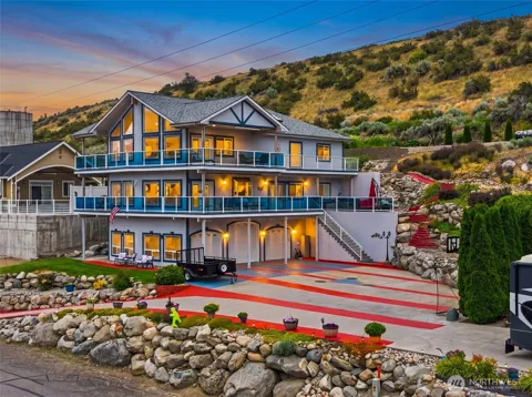
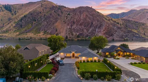
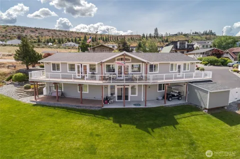
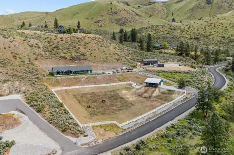
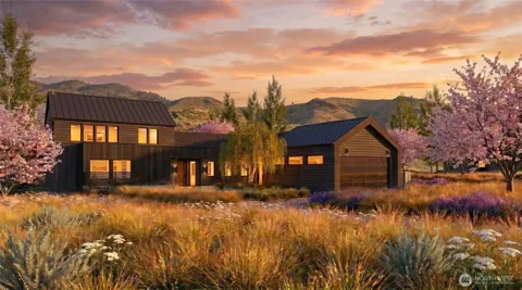
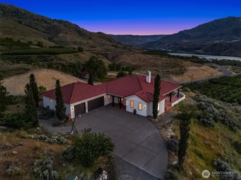
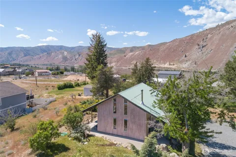
Orondo's housing is defined by rural and agricultural properties rather than suburban subdivisions. Homes sit among orchards, pastures, and open benchland, often on larger parcels suited to farming, gardening, or small livestock. The community's unincorporated status and small population keep development low-density and spread out along the river corridor. Buyers are typically drawn by the orchard-country setting, river access, and the relative affordability of Douglas County compared with the Wenatchee valley towns across the river.
Orondo does not have a traditional downtown or defined residential subdivisions. The community lines U.S. Highway 2/97 and the benchland above the Columbia, with homes and orchards scattered across the landscape. The river and Lake Entiat form the community's western edge, while the hills of Douglas County rise to the east. East Wenatchee, just south across the river, provides the nearest concentration of housing, shopping, and services, making Orondo a distinctly rural counterpart to the valley's more developed towns.
Life in Orondo is rooted in agriculture and the river. Orchards and farmsteads spread across the benchland above the Columbia, and the rhythms of the growing season shape the community's calendar. With no traditional downtown and only a few hundred residents, Orondo feels more like a rural landscape than a conventional town, and residents rely on Wenatchee and East Wenatchee for most services. The Columbia River and Lake Entiat provide a year-round backdrop for recreation, making the community a quiet, agricultural outpost in central Washington's fruit country.
Orondo is served by the Orondo School District, a small rural district that educates roughly 130 students from preschool through eighth grade in a close-knit, low-ratio setting. High school students attend schools in the larger Eastmont and Wenatchee districts to the south. Families seeking additional private or specialized options can find them in the Wenatchee valley, and higher education is available at Wenatchee Valley College and other central Washington institutions.
Orondo sits along U.S. Highway 2/97, which runs along the east side of the Columbia River and connects the community south toward East Wenatchee and Wenatchee and north toward Chelan and the communities of the upper Columbia. The highway provides the area's primary route for commuting, freight, and travel, while the river itself, now Lake Entiat, no longer carries ferry traffic as it once did. Wenatchee's regional airport and services are within a short drive to the south.
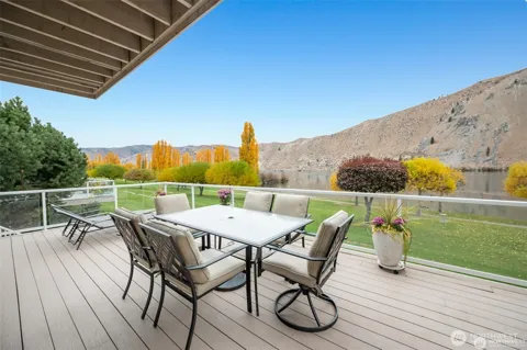
Lake Entiat, the reservoir created by Rocky Reach Dam, is Orondo's primary recreational asset, offering boating, fishing, swimming, and riverside camping along the Columbia. Orondo River Park, established in 1972 and operated by Washington State Parks, provides developed riverfront access for day use and picnicking. The surrounding orchard country offers quiet country roads and open space, while the recreation areas, trails, and amenities of the Wenatchee valley and the nearby Cascade foothills lie within a short drive.
MARKET SNAPSHOT
How homes have been selling here over the last 90 days.
Market data reflects closed sales over the last 90 days and is provided for informational purposes.
BROWSE BY ZIP
Browse listings by postal code in this area.