Olympic Peninsula Harbor City
Welcome to Port Angeles, the Olympic Peninsula's largest city and Clallam County seat, a working harbor on the Strait of Juan de Fuca that serves as a gateway to Olympic National Park and the ferry to Victoria, B.C.
Port Angeles is a city in and the county seat of Clallam County, Washington, set on the south shore of the Strait of Juan de Fuca at the base of the Olympic Mountains. With about 20,000 residents, it is the largest city on the Olympic Peninsula and anchors the Port Angeles Micropolitan Statistical Area. The city grew around a deep-water harbor that has anchored its economy since the late 19th century, when settlers arrived to harvest the massive old-growth forests of the Olympic foothills. For most of the 20th century, Port Angeles was a timber town. Lumber, pulp, paper, and plywood mills lined the harbor, and by 1912 the city hosted what was then one of the world's largest sawmills. Commercial fishing, food processing, and dairy farming added to the economic base. As the timber industry changed, the city's economy diversified toward health care, education, government services, and, increasingly, outdoor tourism tied to Olympic National Park. The national park is Port Angeles' defining neighbor. Hurricane Ridge, one of the park's signature viewpoints, sits about 45 minutes south of town and offers sweeping alpine views, hiking, and winter snow sports. The city also serves as an international gateway: the Black Ball (Coho) ferry carries passengers and vehicles across the Strait of Juan de Fuca to Victoria, British Columbia, making Port Angeles a practical base for cross-border travel and tourism. Housing in Port Angeles ranges from older in-town homes on the bluff and downtown grid to suburban neighborhoods, acreage properties, and coastal estates between the city and Sequim. The area sits partially within the Olympic rain shadow, which brings drier, sunnier conditions than the rainforests to the west. The Port Angeles School District, a K-12 system of ten schools and roughly 3,500 students, serves the city and surrounding rural communities including the Lower Elwha Klallam Tribe. Transportation centers on U.S. Route 101, the peninsula's main highway, and Clallam Transit, which runs local routes plus the Hurricane Ridge shuttle and connections toward the Seattle-area ferries and Sea-Tac airport. Port Angeles suits residents drawn to maritime industry, park access, and a small-city pace on the edge of a national park.
Port Angeles is a city in and the county seat of Clallam County, Washington, on the Strait of Juan de Fuca. It is the largest city on the Olympic Peninsula and anchors the Port Angeles Micropolitan Statistical Area, with U.S. Route 101 running through the city.
Yes. Port Angeles is a primary gateway to Olympic National Park. Hurricane Ridge, one of the park's most visited viewpoints, is about 45 minutes south of the city and offers hiking, alpine views, and winter recreation, while Lake Crescent, the Elwha River valley, and the coastal beaches are within day-trip distance.
Yes. The Black Ball (Coho) ferry provides year-round passenger and vehicle service across the Strait of Juan de Fuca between Port Angeles and Victoria, British Columbia, making the city a convenient base for cross-border travel.
Port Angeles is served by the Port Angeles School District, a K-12 system of ten schools and roughly 3,500 students covering the city, surrounding rural areas, and the Lower Elwha Klallam Tribe. Peninsula College, a community college, is also located in the city.
Port Angeles is known as a working harbor city and the Olympic Peninsula's largest community, with a history rooted in timber, pulp, and fishing. It is also a gateway to Olympic National Park and the departure point for the ferry to Victoria, British Columbia.
Port Angeles lies within the Olympic rain shadow, giving it a drier, sunnier climate than the rainforest areas of the peninsula's west side. Its coastal position on the Strait of Juan de Fuca moderates temperatures, producing mild, relatively dry conditions compared with much of the surrounding region.
City Guide
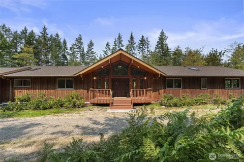
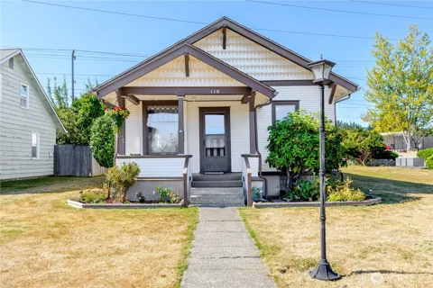
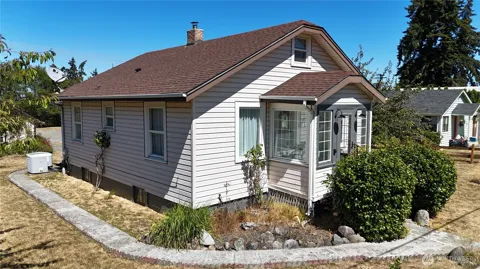
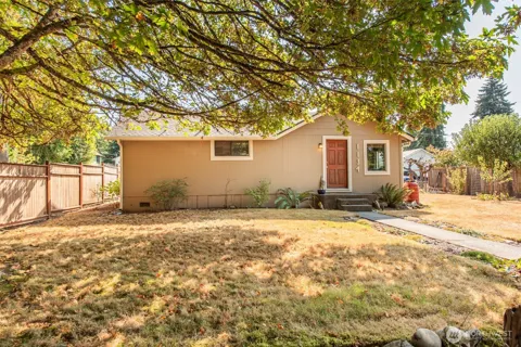
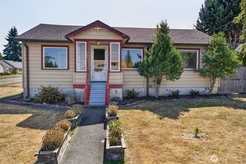
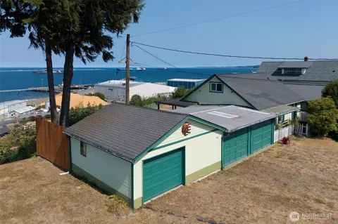
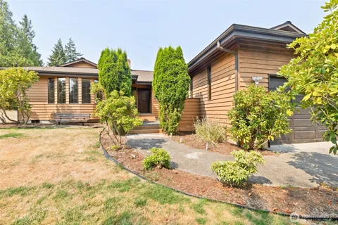
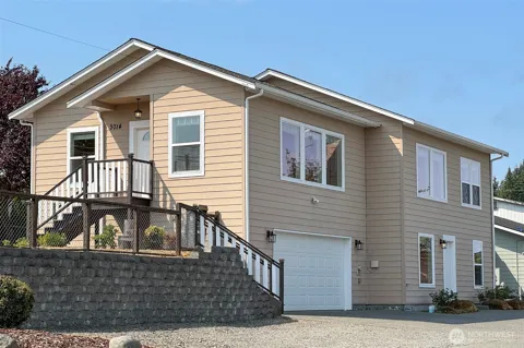
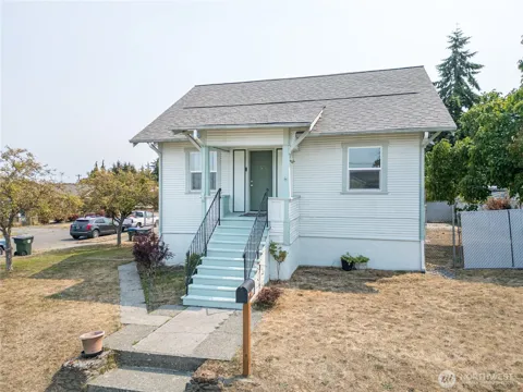
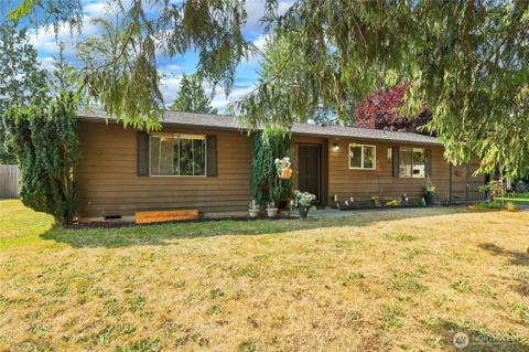
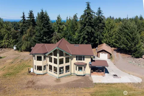
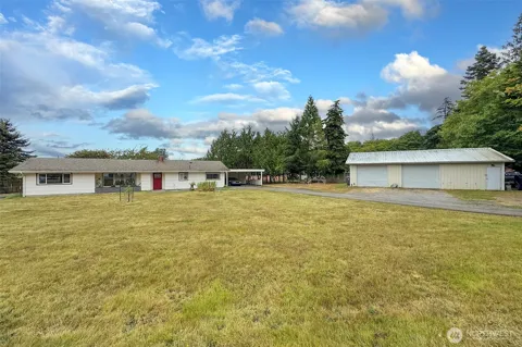
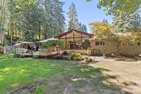
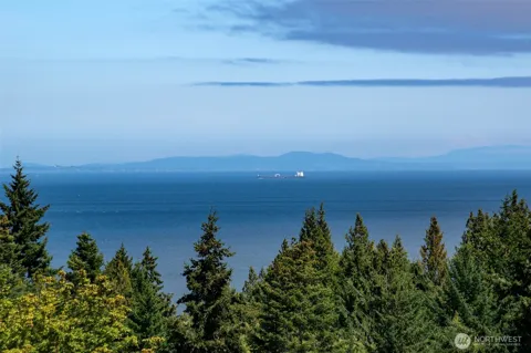
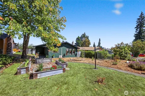
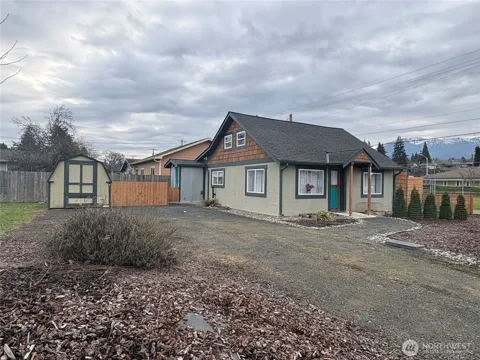
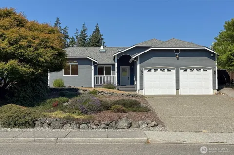
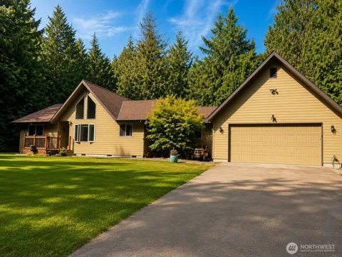
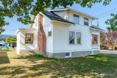
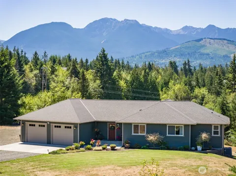
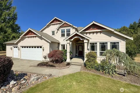
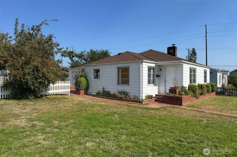
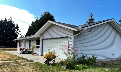
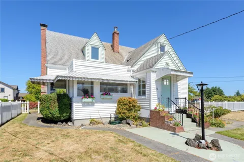
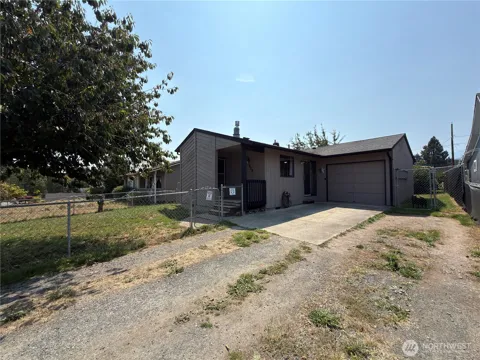
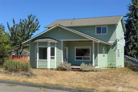
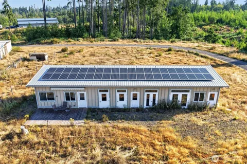
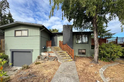
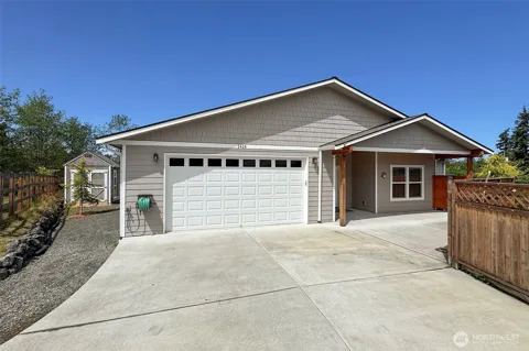
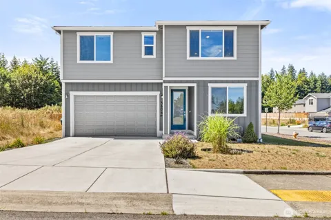
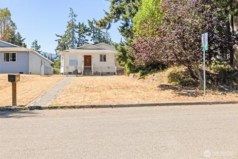
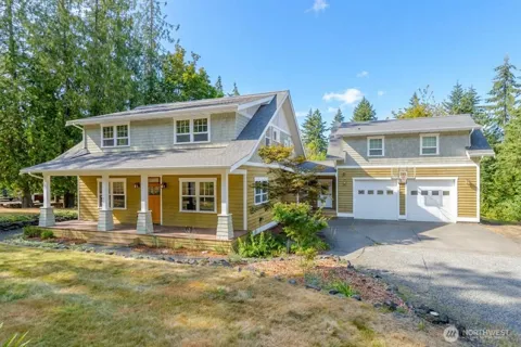
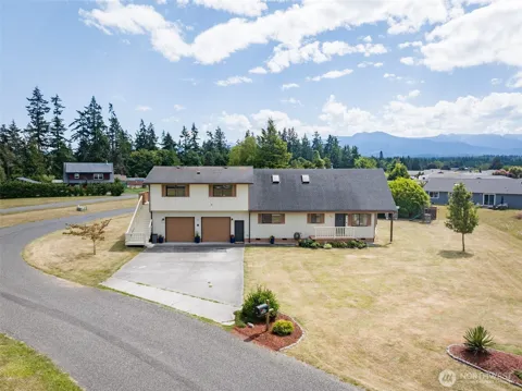
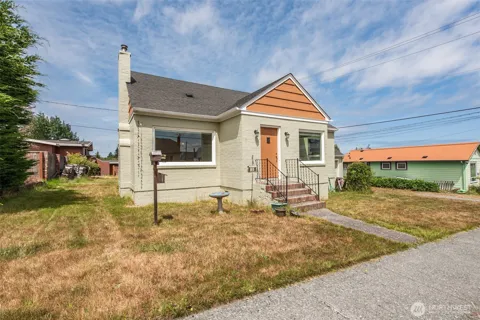
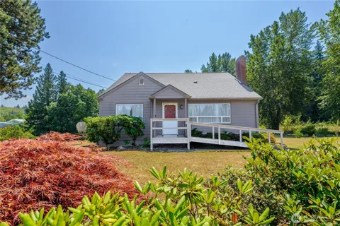
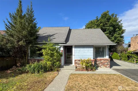
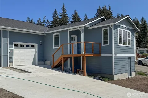
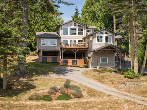
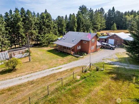
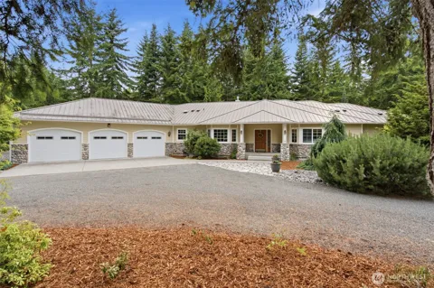
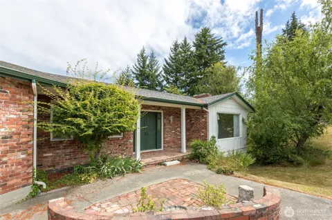
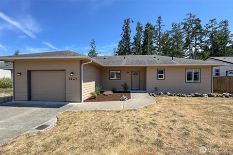
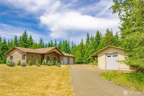
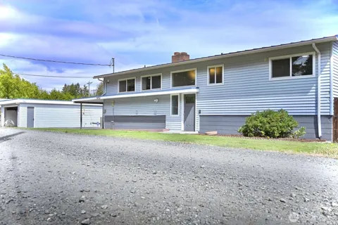
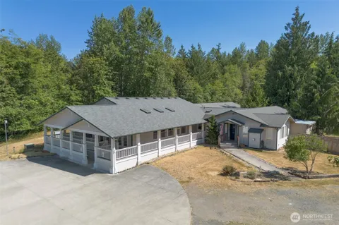
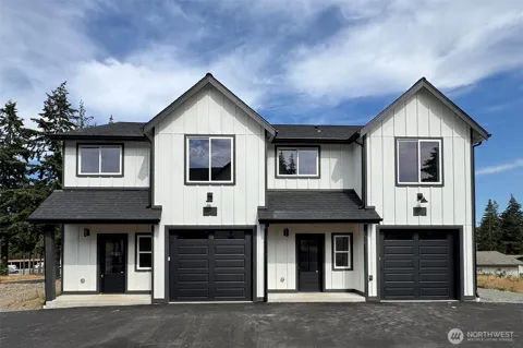
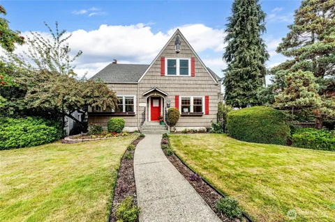
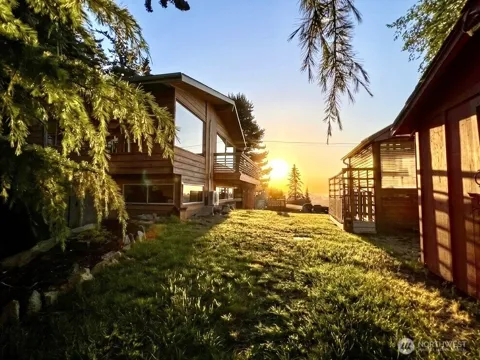
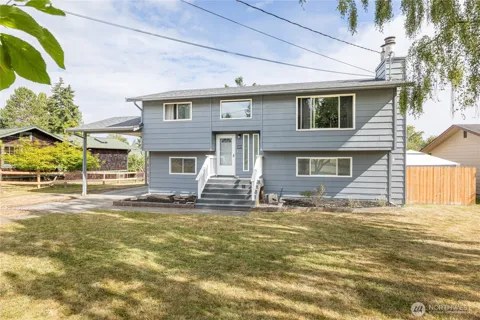
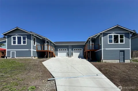
Port Angeles' housing stock is broad and tied to its geography. The city's older neighborhoods near downtown and the bluff hold early-20th-century and mid-century homes, while newer subdivisions spread across the eastern side toward Sequim and the rain-shadow farmlands. Acreage properties, small hobby farms, and coastal blufftop estates are common in the surrounding county, and views of the Strait of Juan de Fuca and the Olympic Mountains carry a premium. The market includes a mix of primary residences, retirement and second homes, and workforce housing tied to the hospital, schools, and service economy. The overall character is a working coastal city rather than a resort enclave.
Port Angeles is organized around its downtown waterfront and the bluff that rises behind it. The downtown and harbor district hold shops, restaurants, the ferry terminal, and the city's maritime and civic institutions. Residential neighborhoods climb the bluff and spread east and west, with older in-town blocks near Lincoln Street and the schools giving way to newer subdivisions toward Sequim. The east-side areas offer a mix of established homes and newer construction, while outlying roads lead to acreage and view properties. The unincorporated communities around the city, including the Lower Elwha Klallam Reservation to the west, extend the housing landscape.
Port Angeles blends a working waterfront with outdoor recreation. The harbor and marinas support commercial fishing, boating, and marine services, while the downtown hosts restaurants, coffee shops, and the ferry terminal for Victoria. Olympic National Park is the dominant recreational asset, with Hurricane Ridge's hiking, skiing, and viewpoints minutes away, along with the Elwha River valley and Lake Crescent. Residents enjoy a mild coastal climate moderated by the strait, with the Olympic rain shadow keeping the area drier than the peninsula's west side. Community life runs through the schools, tribal and civic institutions, and seasonal events, giving the city a grounded, small-town character.
Port Angeles is served by the Port Angeles School District, a K-12 system of ten schools and roughly 3,500 students that covers the city, surrounding rural areas, and the Lower Elwha Klallam Tribe. The district operates Port Angeles High School, middle schools, and neighborhood elementary schools from its base on West Ninth Street. Its size supports close ties between schools and the community, and it anchors youth programs across the peninsula's east side. Peninsula College, a community college in Port Angeles, provides higher education and workforce training locally. Families in the nearby Sequim area attend the separate Sequim School District.
Port Angeles is the transportation hub of the northern Olympic Peninsula. U.S. Route 101 runs through the city, linking it west toward Forks and the coast and east toward Sequim, Port Townsend, and the Hood Canal crossings. The Black Ball (Coho) ferry provides year-round passenger and vehicle service across the Strait of Juan de Fuca to Victoria, British Columbia. Clallam Transit operates local bus routes, the Hurricane Ridge shuttle into Olympic National Park, and connections toward the Bainbridge and Kingston ferries and Seattle-Tacoma International Airport, which is about three hours away by road. The city's walkable downtown and waterfront serve local trips.
Outdoor recreation defines Port Angeles. Olympic National Park is the centerpiece, with Hurricane Ridge offering alpine meadows, panoramic views, hiking, and winter skiing about 45 minutes south of town. The park's other units — Lake Crescent, the Elwha River valley, and the Olympic rainforests and coast — are within day-trip reach. On the water, the Strait of Juan de Fuca and the harbor support boating, fishing, kayaking, and whale watching. The Olympic Discovery Trail, a long-distance multi-use path, passes through the area for walking and cycling. Nearby Dungeness Spit and the Sequim area add beaches and wildlife viewing.
MARKET SNAPSHOT
How homes have been selling here over the last 90 days.
Market data reflects closed sales over the last 90 days and is provided for informational purposes.
BROWSE BY ZIP
Browse listings by postal code in this area.