Airport Gateway City
Welcome to SeaTac, the King County city built around Seattle-Tacoma International Airport, where light rail, aviation jobs, and the Angle Lake community meet.
SeaTac is a city in King County, Washington, that surrounds Seattle-Tacoma International Airport, the principal aviation gateway for the Puget Sound region. The 2020 census counted 31,454 residents across roughly ten square miles. The city's boundaries wrap around the airport, which occupies about three square miles and is owned and operated by the Port of Seattle. The airport, completed in 1944, transformed the area after World War II and remains the city's defining feature. SeaTac grew up around aviation, hospitality, and freight, and its economy today is anchored by the airport, a dense corridor of hotels, and the logistics and transportation industries that cluster near the runways and freeways. The city's workforce is notably diverse and international, reflecting its role as an arrival point for people from around the world. The Angle Lake community, on the city's eastern edge, is a long-established residential neighborhood built around its namesake lake, while other neighborhoods spread between the airport, Interstate 5, and the city of Burien to the west. Light rail is a central amenity: the 1 Line stops at the SeaTac/Airport and Angle Lake stations, providing a roughly 35- to 40-minute ride to downtown Seattle. Education is provided by Highline Public Schools, with Tyee High School located in SeaTac and other campuses across the district serving Burien, Des Moines, Normandy Park, and White Center. Despite its industrial character, the city retains residential neighborhoods and parkland, and its international, multilingual community is one of the region's most diverse. For residents, SeaTac offers aviation and hospitality employment, light rail access, and a central South King County location, with the trade-offs of airport proximity — noise, traffic, and a heavily commercial landscape in places.
SeaTac is in King County, Washington, in the South King County region between Seattle and Tacoma. The city's boundaries surround Seattle-Tacoma International Airport, which is operated by the Port of Seattle.
SeaTac is the city, while Seattle-Tacoma International Airport is the airport located within its boundaries. The name blends the two cities — Seattle and Tacoma — that the airport was built to serve.
SeaTac is served by Highline Public Schools, a large district covering Burien, Des Moines, Normandy Park, SeaTac, and White Center. Tyee High School is located within the city of SeaTac.
SeaTac's light rail stations connect riders to downtown Seattle in about 35 to 40 minutes by train. The Link light rail 1 Line runs roughly every 8 to 15 minutes and requires no transfer to reach the city center.
City Guide
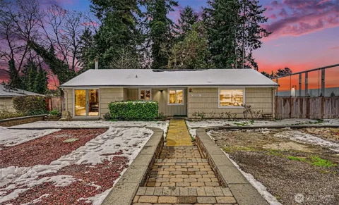
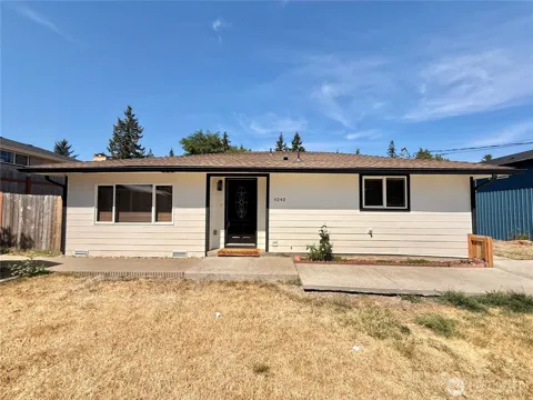
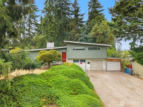
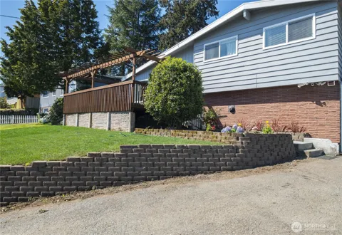
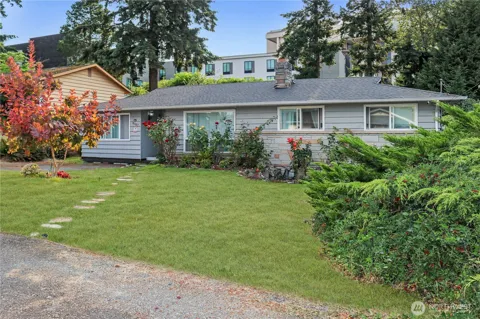
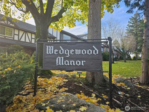
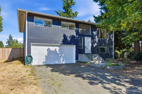
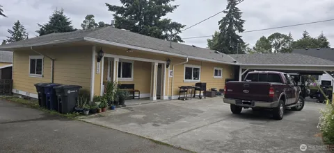
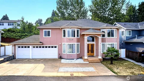
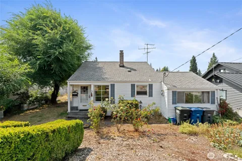
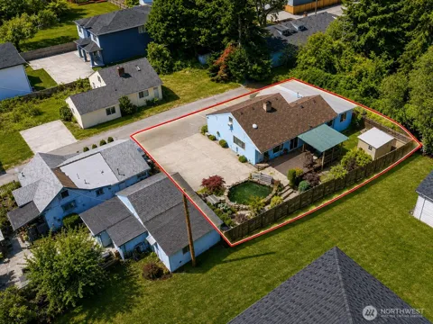
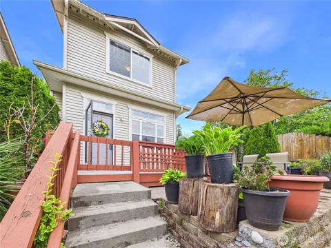
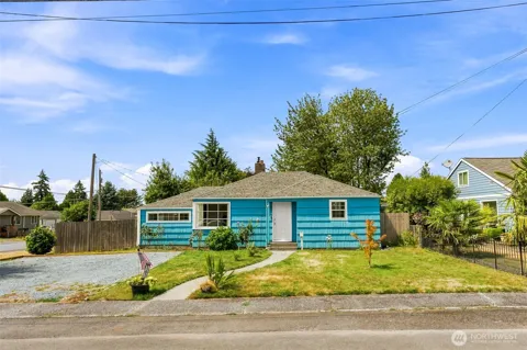
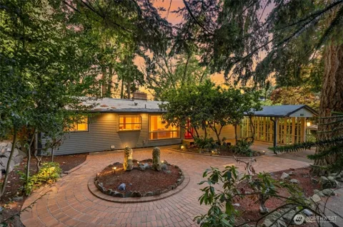
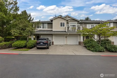
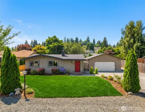
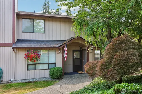
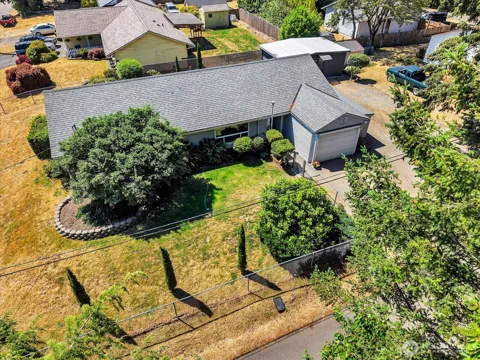
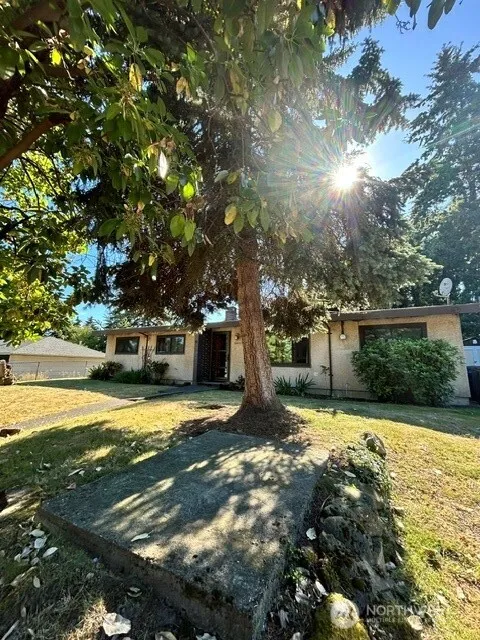
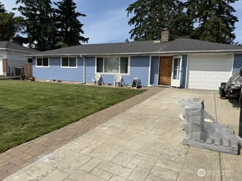
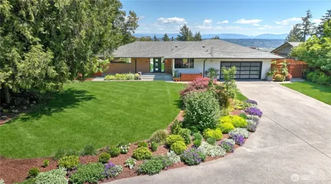
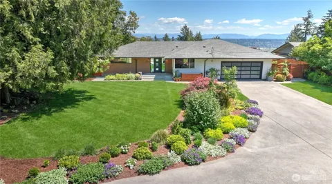
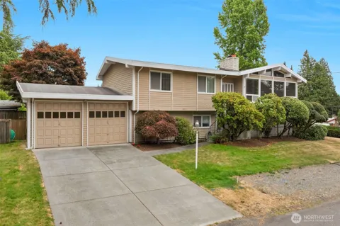
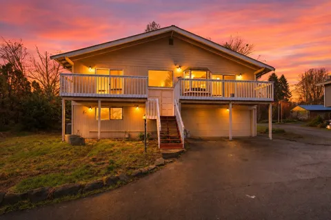
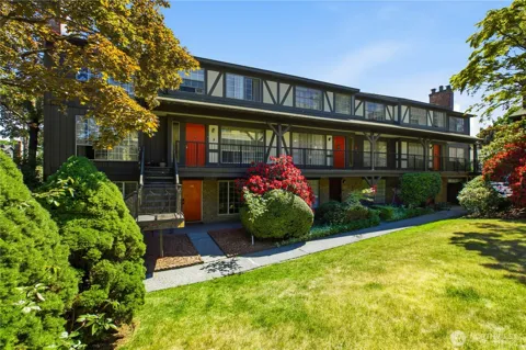
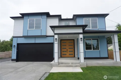
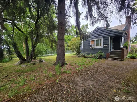
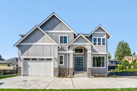
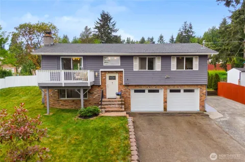
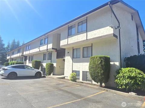
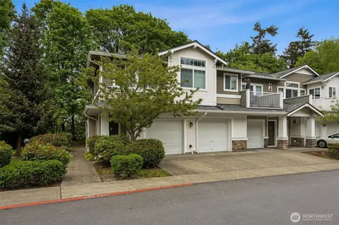
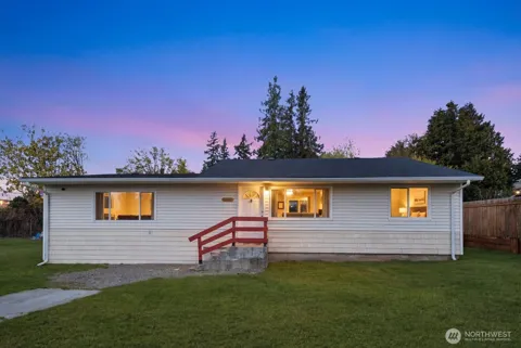
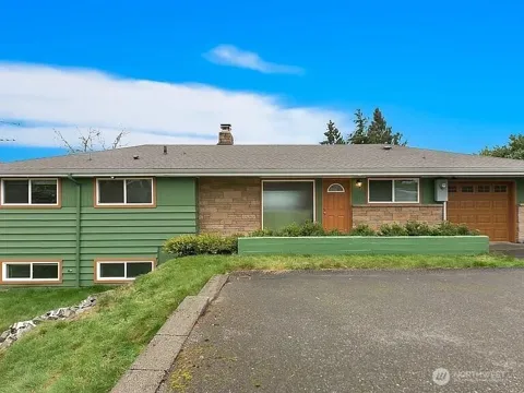
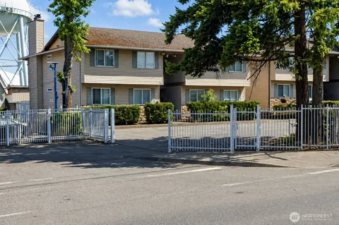
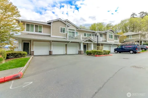
SeaTac's housing stock is a mix of mid-century single-family homes, particularly around Angle Lake, and a large share of apartments and multi-family buildings serving the airport workforce. The city's commercial core is dominated by hotels, offices, and industrial uses rather than subdivisions, so residential areas are interwoven with commercial and transportation land. Housing tends toward modest, older construction, with newer multi-family infill near the light rail stations. Renters make up a substantial portion of households, reflecting the city's role as a gateway and employment center.
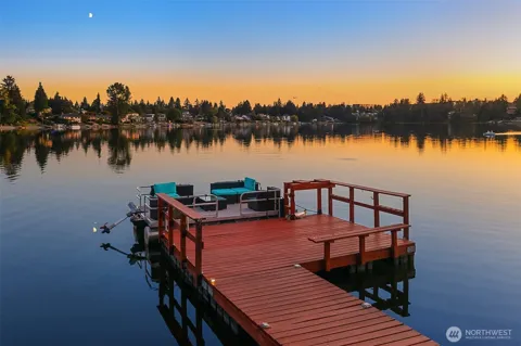
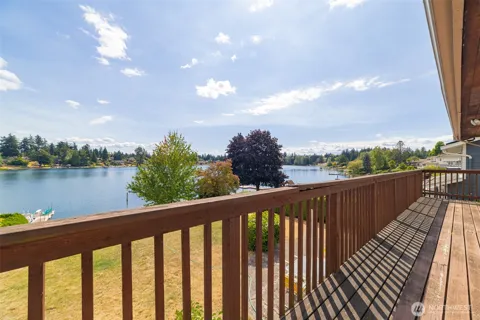
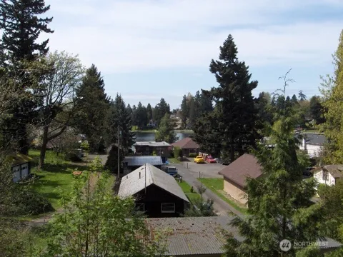
SeaTac's best-known residential area is Angle Lake, a lakefront neighborhood on the city's eastern edge with a community park and light rail station. Other residential pockets spread between the airport, Interstate 5, and State Route 518, while the city's central and western areas are largely commercial — hotels, cargo facilities, and offices. Neighboring communities include Burien to the west, Tukwila to the north, Des Moines and Normandy Park to the south, and Kent to the east, placing SeaTac at the center of South King County's transportation corridor.
Life in SeaTac is shaped by its airport setting. Many residents work in aviation, hospitality, or logistics, and the city's international character is visible in its diverse restaurants, markets, and community organizations. Angle Lake offers a distinct lakefront neighborhood life with swimming and boating, while the light rail makes downtown Seattle and regional destinations accessible without a car. The city's many hotels and event venues, and the airport's constant activity, give SeaTac a busy, around-the-clock energy unusual for a suburb of its size.
SeaTac is served by Highline Public Schools, a large district that also covers Burien, Des Moines, Normandy Park, and White Center. Tyee High School is located within SeaTac, with elementary and middle schools distributed across the district. Highline is recognized for its National Board Certified teachers and offers a range of programs across its comprehensive high schools. The district serves one of Washington's most diverse student populations, and nearby community and technical colleges provide post-secondary pathways.
SeaTac is defined by transportation. Seattle-Tacoma International Airport anchors the city, with Link light rail stops at SeaTac/Airport and Angle Lake connecting riders to downtown Seattle in about 35 to 40 minutes and to the broader 1 Line corridor. Interstate 5 and State Routes 518 and 509 frame the city, and State Route 99 provides a local arterial. King County Metro and Sound Transit buses, including RapidRide, serve the airport and surrounding neighborhoods. The city is a hub for air, rail, road, and freight movement.
Angle Lake Park anchors recreation in SeaTac, offering swimming, a beach, a fishing pier, and a lakeside setting connected to the light rail. The city's parks system provides playgrounds, sports fields, and community facilities across its neighborhoods. The nearby Green River Trail and the larger South King County trail network add walking and biking routes, while regional attractions such as the Museum of Flight in Tukwila and downtown Seattle's cultural venues are a short rail ride away.
MARKET SNAPSHOT
How homes have been selling here over the last 90 days.
Market data reflects closed sales over the last 90 days and is provided for informational purposes.
BROWSE BY ZIP
Browse listings by postal code in this area.