Valley Town Beneath Mount Rainier
Welcome to Orting, a Pierce County city in the Puyallup Valley between two rivers, with Mount Rainier rising to the southeast and the Foothills Trail through downtown.
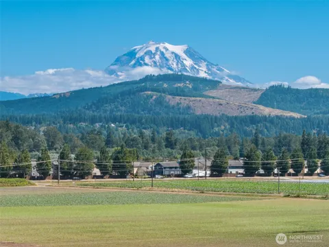
Orting is a city in Pierce County, Washington, set in a broad, fertile valley between the Puyallup and Carbon rivers in the shadow of Mount Rainier. Its population was 9,041 at the 2020 census, and the city sits roughly 30 miles northwest of the mountain, which dominates the view to the southeast. Orting's setting — a flat valley floor ringed by rivers and framed by Rainier — defines both its character and its history. The city grew in the late 19th century as a settlement in the Puyallup Valley, and its downtown retains turn-of-the-century architecture that reflects that era. Orting remains a distinctly small-town community, with a compact commercial core, a gazebo and farmers market, and a civic calendar that includes a Daffodil Festival each spring. The valley's lahar deposits from past Mount Rainier eruptions are part of the area's geological story, and the city is built upon those layers. Recreation is a defining feature of contemporary Orting. The Foothills Trail, a 20-mile converted rail trail, runs directly through the center of town and follows the Carbon River levee, drawing cyclists, walkers, and families and connecting Orting to the broader regional trail network. The rivers themselves offer fishing and riverside access, and Mount Rainier National Park lies within a short drive for hiking and alpine recreation. The Orting School District serves the community, and the city's location places it within commuting range of Puyallup and Tacoma while retaining a slower, valley-town pace. For residents, Orting offers small-town life, outdoor access, and a dramatic mountain backdrop within one of the Puget Sound region's fastest-growing counties.
Orting is in Pierce County, Washington, in the Puyallup Valley between the Puyallup and Carbon rivers. The city sits roughly 30 miles northwest of Mount Rainier in the western part of the state.
Orting is known for its small-town downtown, its location beneath Mount Rainier, and the 20-mile Foothills Trail, which runs through the center of town along the Carbon River levee. It also hosts a Daffodil Festival each spring.
Orting is served by the Orting School District, which operates the city's public elementary, middle, and high schools. The community also hosts a Daffodil Festival each spring and a seasonal farmers market.
Orting is about 30 miles northwest of Mount Rainier, with Mount Rainier National Park within a short drive. Puyallup and Tacoma lie to the north and west, within commuting range by highway.
City Guide
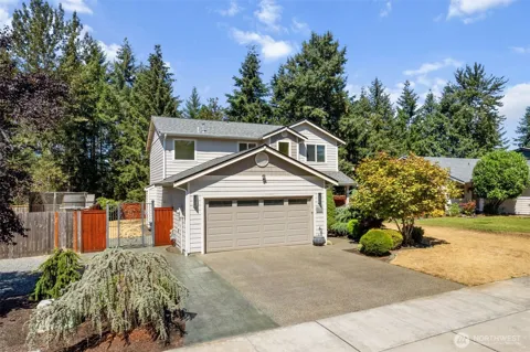
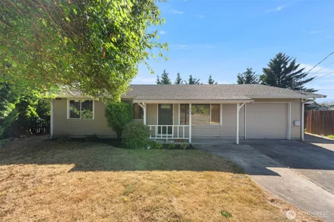
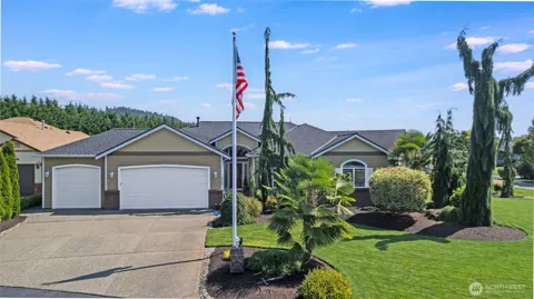
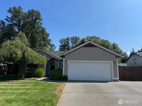
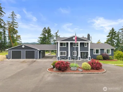
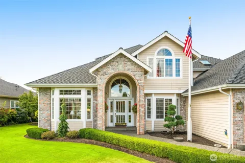
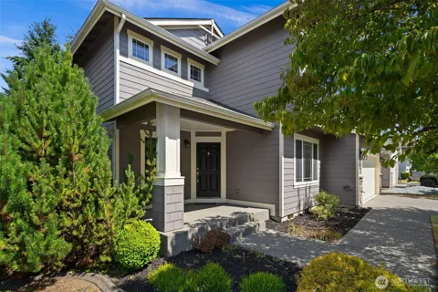
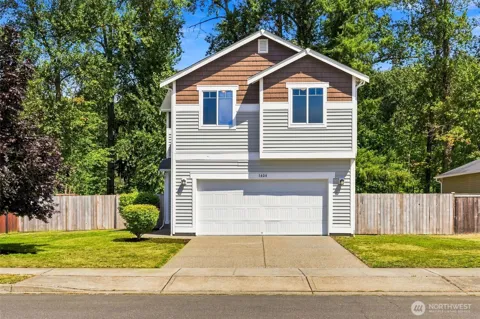
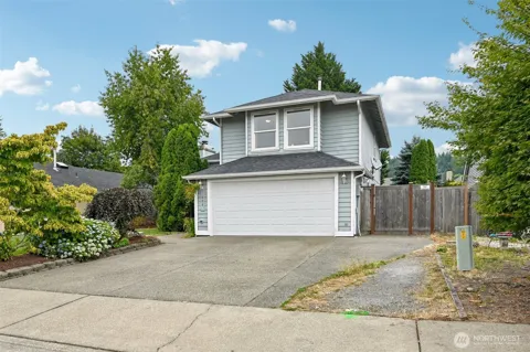
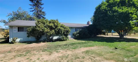
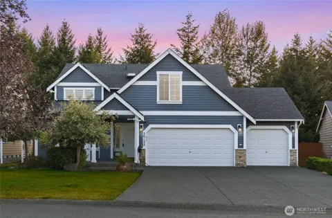
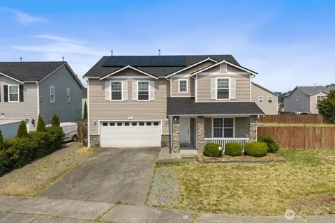
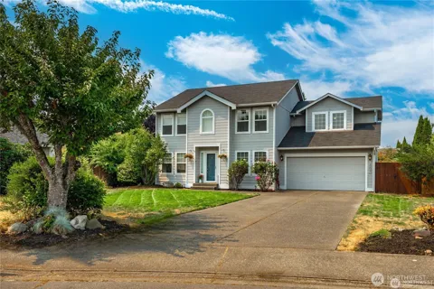
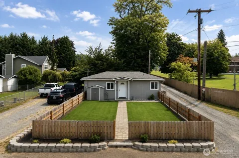
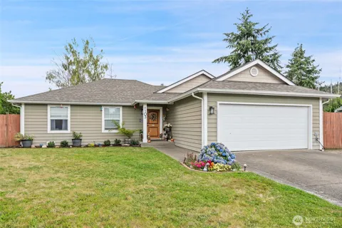
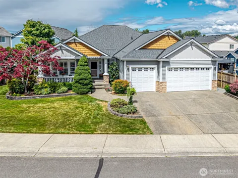
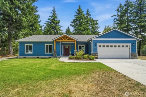
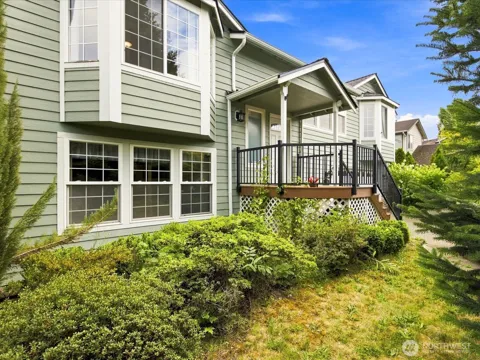
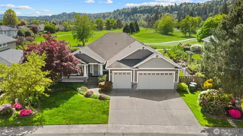
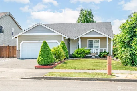
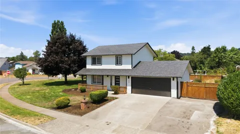
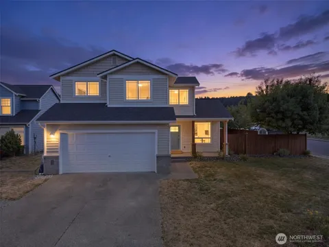
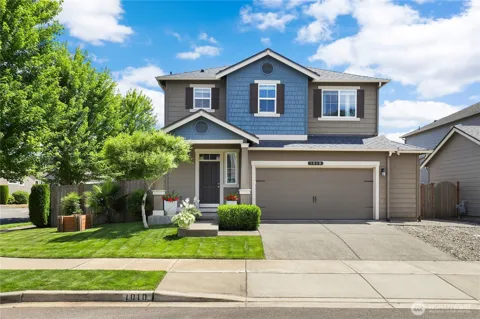
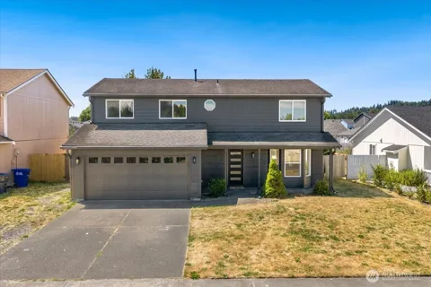
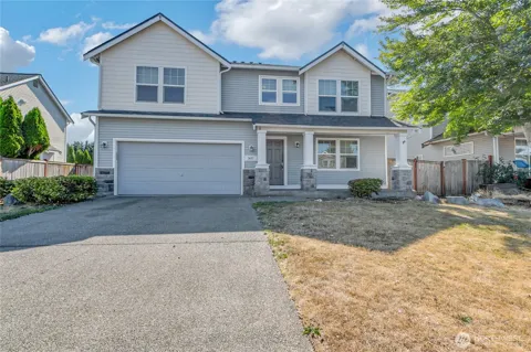
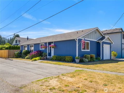
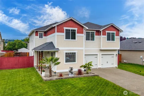
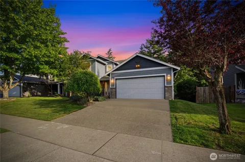
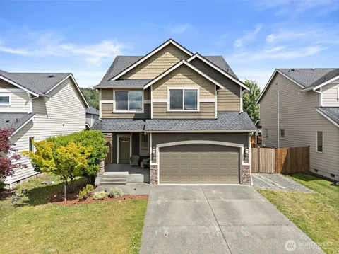
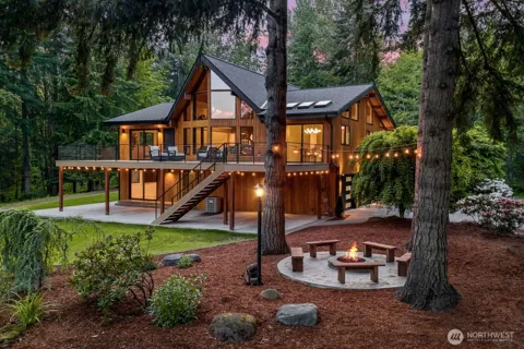
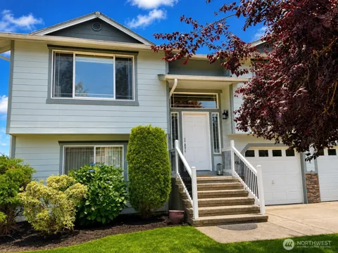
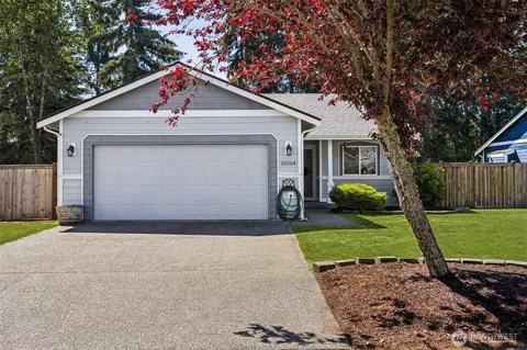
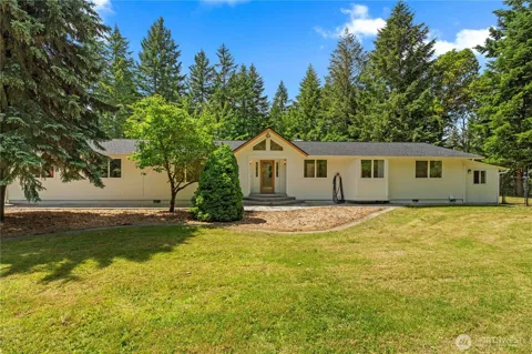
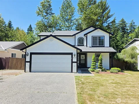
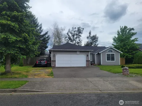
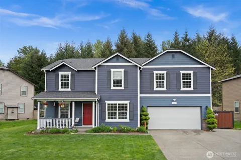
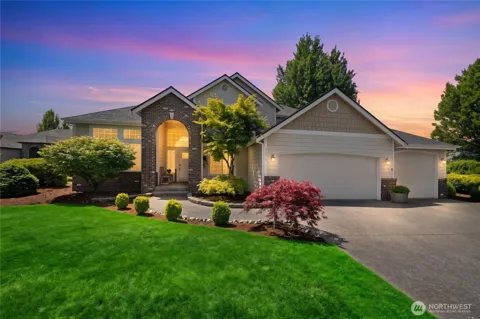
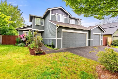
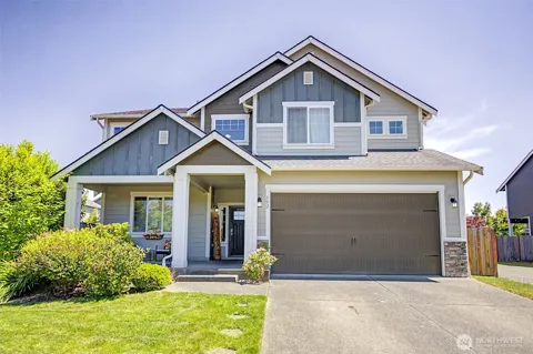
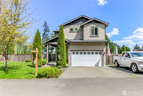
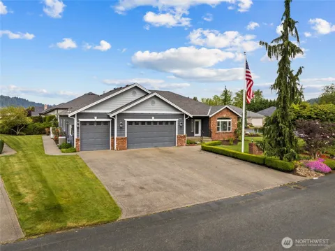
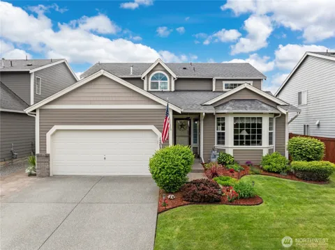
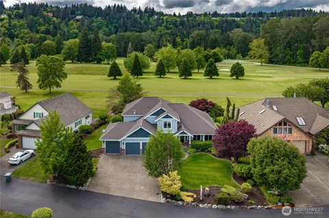
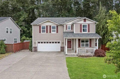
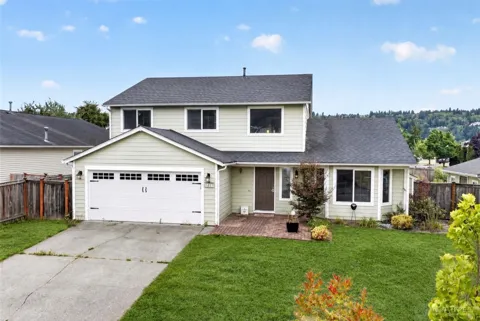
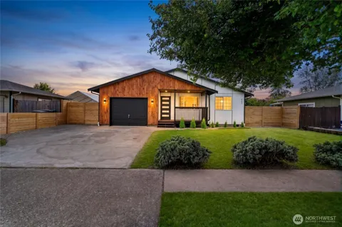
Orting's housing stock reflects its evolution from a small valley town into a growing Pierce County suburb. The city mixes its historic core of older, modest homes with newer single-family subdivisions built on the valley floor, giving buyers a range from turn-of-the-century houses near downtown to more recent tract and infill construction. Lot sizes are generally conventional suburban, though the city's setting between two rivers and its mountain views add appeal. Orting has grown with the broader Puyallup Valley corridor, attracting households seeking a small-town feel at a more accessible price point than the denser suburbs closer to Tacoma. The market remains predominantly single-family and family-oriented, with new development concentrated on the town's edges.
Orting is organized around its historic downtown, where turn-of-the-century storefronts, a gazebo, and civic buildings line the main streets near the Foothills Trail. Residential neighborhoods of older homes surround the core, while newer subdivisions spread across the flatter valley land toward the city's edges. The Puyallup River bounds one side of the city and the Carbon River the other, and the Foothills Trail runs through the center as a community spine, linking neighborhoods to downtown and the river levee. The compact downtown gives Orting a walkable center uncommon in newer suburbs, and the mountain views and river corridors frame the residential landscape on all sides.
Orting's lifestyle is small-town and outdoors-oriented. The Foothills Trail runs through the heart of the city, making walking and cycling part of daily life, and the downtown's restaurants, coffee shops, and gazebo anchor a genuine Main Street atmosphere. The community calendar includes a Daffodil Festival each spring, a Friday farmers market in season, and summer and holiday events that bring residents together. The mountain setting shapes local identity — Mount Rainier is a constant presence — and the rivers and nearby national park provide ready access to outdoor recreation. Orting balances a quiet, community-centered pace with the practical realities of the Puyallup Valley corridor, where Tacoma and Puyallup's employment, shopping, and services are within a short drive.
Orting is served by the Orting School District, which operates the city's public elementary, middle, and high schools and serves the surrounding valley area. As a smaller, community-based district, Orting's schools are closely tied to local life, with school events and athletics central to the town's identity. The district has grown alongside the city as the Puyallup Valley has expanded. Beyond K-12, families have access to higher education through community colleges and universities in the Tacoma and Puget Sound region, including Pierce College and institutions in Tacoma and Seattle, all within commuting distance. The district's local, community-oriented character is part of Orting's small-town appeal.
Orting's transportation position is defined by its valley location and its connections to the regional road network. State Route 162 runs through the city, linking Orting north toward Puyallup and the State Route 512 and Interstate 5 corridors, while State Route 410 and the broader Pierce County road system provide access to Tacoma, Sumner, and the surrounding area. The city lies roughly 30 miles southeast of Tacoma, with commuting oriented toward the Puyallup and Tacoma employment centers. The Foothills Trail provides a non-motorized corridor through town, but daily travel is primarily car-based, as in most of Pierce County. Mount Rainier National Park is reachable by road for recreation.
The Foothills Trail is Orting's recreational centerpiece: a 20-mile converted rail trail that runs through the middle of town and follows the Carbon River levee, serving walkers, runners, cyclists, and families and linking to the regional trail network. The Puyallup and Carbon rivers offer fishing and riverside access, and the city's parks, including the main city park with its gazebo and playground, anchor neighborhood recreation. Mount Rainier National Park lies about 30 miles to the southeast, providing world-class hiking, camping, and alpine scenery within a short drive. The surrounding Puyallup Valley and foothills add rural roads and open space, giving Orting residents outdoor access from their doorstep to the mountain.
MARKET SNAPSHOT
How homes have been selling here over the last 90 days.
Market data reflects closed sales over the last 90 days and is provided for informational purposes.
BROWSE BY ZIP
Browse listings by postal code in this area.